Guidance & steering
Topcon displays, receivers and steering options selected for accuracy, machine type and field operation.
GUIDANCE · DATA · DRONES
Topcon guidance, application control, fleet and fuel monitoring, plus drone platforms for survey, inspection, spraying and spreading.
Discuss your requirement ↗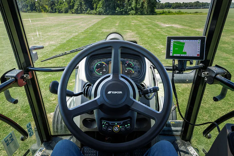
EFFICIENCY BY DESIGN
We focus on measurable operating improvements: less overlap, repeatable passes, improved input placement, clearer utilisation and better work records.
Topcon displays, receivers and steering options selected for accuracy, machine type and field operation.
Support for more consistent seeding, fertiliser and crop-protection work where compatible equipment is used.
See machine location, operating status, engine hours, fault codes and service requirements from one fleet view.
Measure tank level and consumption, identify unexpected fuel movement and connect fuel use to machine activity.
Create georeferenced field maps, surface models and survey data for block design, drainage and earthworks.
Application platforms up to 80 kg payload, selected for the material, duty cycle and regulatory environment.
TAP FLEET & FUEL MONITORING
TAP Fleet provides the operational view, while Terra Agri's Ruptela trackers, Technoton fuel-level sensors and TrustTrack platform add measured fuel intelligence across agricultural and off-highway fleets.
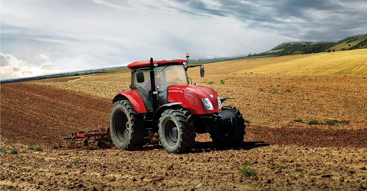
View live machine location and status, engine hours, trouble codes, location history and maintenance alerts. Reports, geofences and curfews help managers turn fleet activity into timely action.
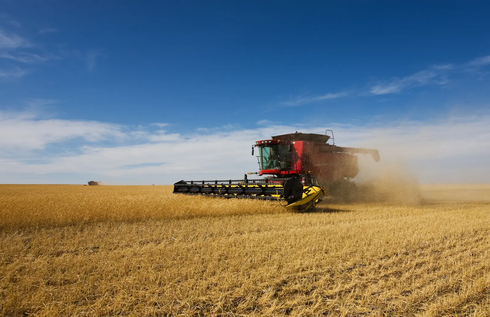
Trackers and calibrated tank sensors monitor level, consumption and unexpected fuel movement on tractors, combines, trucks and light commercial vehicles. CAN or OBD data can add speed, RPM, odometer and machine fuel level where supported.
SURVEY · INSPECT · APPLY
Survey-grade drone data helps convert boundaries, terrain and site conditions into a practical operating plan. Application drones then add rapid, targeted spraying and spreading where the use case is suitable.
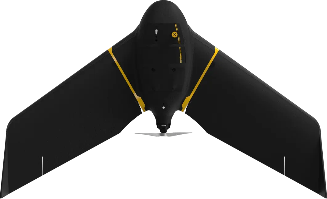
The 1.6 kg fixed-wing platform offers up to 90 minutes of flight time and survey coverage up to 500 hectares under published conditions. RTK and PPK positioning plus interchangeable RGB, multispectral, thermal and 3D sensors support orthomosaics, terrain models, drainage planning and earthwork quantities.
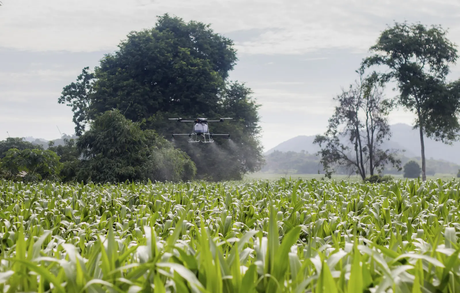
Drone application can support difficult access, targeted treatment and fast mobilisation when the use case is suitable.

CONNECTED TO THE FIELD
Guidance, application control, machine data and fuel monitoring help reduce overlaps, improve consistency and create a clearer view of operating performance.
START WITH THE APPLICATION